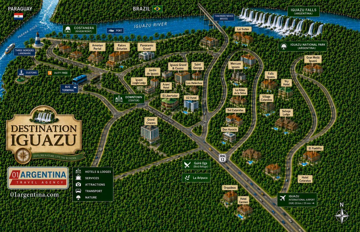
Almost everything written about Iguazú is about the waterfalls. But you do not sleep in the national park — you sleep in a town 18 kilometres away, and where in that town you sleep changes your trip more than most people expect. This is the map of the town: the hotel zone, the centre, the airport, and the two river crossings that put Brazil and Paraguay within sight of your hotel.
Look at the right of the map and you will see a long green strip labelled as the hotel zone, running along Route 12 between the town and the park. That is one option: large properties with grounds, set in the forest, quiet, and closer to the falls than to anything else.
Now look at the middle, where the streets bunch together. That is the centre, and it is the other option: smaller hotels within walking distance of restaurants, the bus terminal and the riverfront. The trade is simple. The hotel zone gives you space and silence and takes away your evenings; the centre gives you somewhere to walk to at night and takes away the forest.
There is a third case that is neither, and the map marks it in the top right: the one hotel inside the national park itself. It is the only address from which you can be on the walkways before the coaches arrive, which for some travellers is the whole point and for others is not worth it.
Which of the three suits you is genuinely a question about how you travel rather than about budget, and it is one of the few things we would rather ask than assume.
The Cataratas del Iguazú international airport is marked at the bottom right, and here is the detail that catches people out: it is about 25 minutes from the town centre — roughly 20 kilometres — and it sits out along Route 12, on the same side of town as the park rather than beyond it.
That geography is worth using. If you land in the morning, going straight to the falls and checking in afterwards saves you a double journey — and on a tight itinerary it can be the difference between needing two nights and needing three. It works in reverse on the way out, too.
The town itself is small enough to cross on foot in twenty minutes, which is why the difference between staying in the centre and staying on Route 12 matters: within the centre, everything is walkable; outside it, nothing is.
Follow the road north-east and you reach the Tancredo Neves bridge, marked crossing the Iguazú river at the top of the map. It is 489 metres long and it lands you in Foz do Iguaçu, Brazil, in under forty minutes from the centre. That is the crossing you use for the Brazilian side of the falls.
West of the town, where the Iguazú river meets the Paraná, is the Three Borders Landmark — a small park a few kilometres from the centre where you stand in Argentina and look at Brazil on one bank and Paraguay on the other. It takes half an hour and it is the cheapest thing to do in Iguazú.
Both crossings are real international borders with real formalities. Whether your passport and nationality make the Brazilian side straightforward or a problem is the single most common thing we check before confirming an itinerary, and it is worth asking us before you book flights rather than after.
The numbers behind the map. All of them by road, from the middle of town.
| Place | Distance | Time | What it is |
|---|---|---|---|
| Iguazú Falls National Park | 18 km | About 30 min | The park entrance, out along Route 12. Where the circuits and the train are. |
| The hotel zone | — | — | Strung along Route 12 between the town and the park. The map labels it as 600 hectares. |
| Cataratas del Iguazú airport | About 20 km | About 25 min | Out along Route 12, on the same side of town as the park. Published distances vary; the time is the reliable figure. |
| Three Borders Landmark | A few km | About 15 min | Where the Iguazú meets the Paraná. Argentina, Brazil and Paraguay in one view. |
| Tancredo Neves bridge | — | — | 489 m across the Iguazú river. The crossing into Brazil. |
| Foz do Iguaçu, Brazil | — | Under 40 min | The Brazilian town, and the way to the Brazilian side of the falls. |
| The town centre | — | 20 min on foot | Small enough to cross walking. Restaurants, the bus terminal and the riverfront. |
| The farm belt | — | — | The green block south of the town on the map, labelled there as 2,000 hectares. |
A map of a small town looks like a trivial thing next to a map of the falls, and it is not. Almost every complaint we have ever heard about an Iguazú trip is about geography, not about waterfalls. Somebody booked a beautiful hotel in the forest and then discovered there was nowhere to walk to at night. Somebody stayed in the centre to be near the restaurants and then spent an hour a day in a vehicle. Nobody has ever complained about the falls.
The second thing this map settles is how the days actually fit together. The airport is on the road to the park, the Brazilian bridge is on the far side of town, and the Three Borders Landmark is in the opposite direction from both. Once you can see that, the order of a three-day visit stops being a guess: the arrival afternoon has an obvious use, and so does the departure morning.
And the third is that this is a border town, which is why the map has three countries on it. That shapes everything from where the duty free shop sits to which currency you are handed as change. It is also why an itinerary here has more moving parts than it looks — and why we would rather build it around your flights than hand you a brochure and wish you luck.
Free written quotation within 24 hours, with no obligation. Tell us your dates, how many nights you have at the falls and whether you would rather walk to dinner or wake up in the forest — those two answers decide the hotel, and the hotel decides the rest.
This map answers where do I sleep. These answer what do I see and how many days.
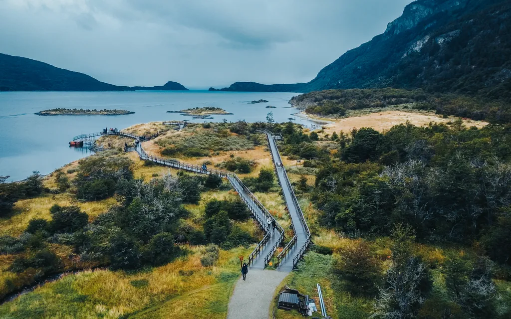
The other map: every circuit measured, the Devil’s Throat walkway, the train and its three stations.
See the park map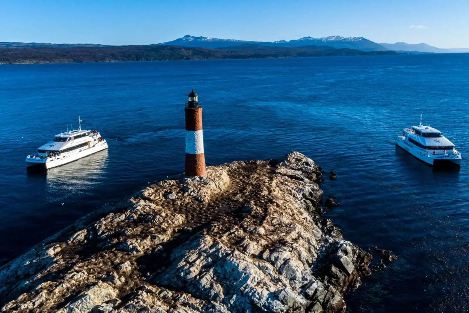
Every package and excursion we run at the falls, with flights and hotels arranged.
See the packages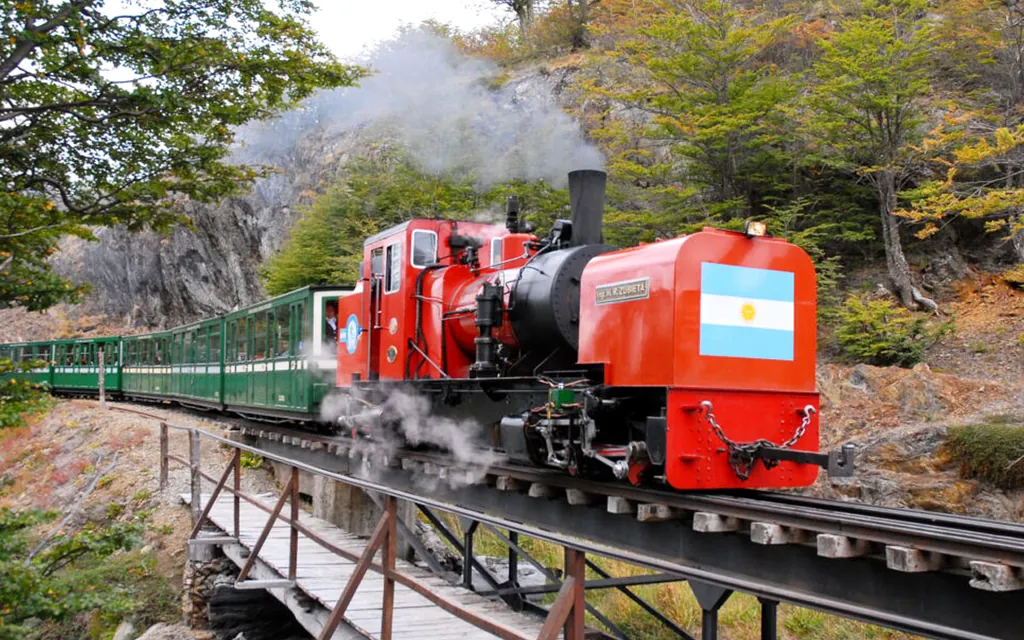
Tickets, days, seasons and the border crossing — answered without the marketing.
Read the answers